Telecom Field Data Collection Software: The 4-Platform Decision
Telecom field data collection software is the mobile and server workflow that records mapped assets, structured attributes, GNSS metadata, photographs, measurements, exceptions and review status plus exports for OSP engineering. This 2026 comparison covers 4 platforms: ArcGIS Field Maps, ArcGIS Survey123, QField, and ODK Collect, each suited to a different data model.
The wrong selection question is which app has the most features. The useful question is which platform preserves the exact evidence that the receiving engineer, utility, permit authority and construction lead plus owner system need. A map-centric pole inventory behaves differently from a structured inspection questionnaire. A free-form photo folder behaves differently from both, and it is usually the weakest handoff because identifiers and exceptions are detached from geometry.
We set the data contract before choosing the application. Asset classes, stable identifiers, relationships, required measurements, units, location method, accuracy metadata, photo sequence, status values, exception reasons, review roles, export format, and revision ownership all belong in that contract. Software can enforce a well-designed schema. It cannot decide what an attachment height means or whether a route break is acceptable or which blank value changes engineering.
Offline behavior is a gate, not a checkbox. The pilot must prove that a user can open the assignment, create and edit records, attach evidence, understand pending sync, recover from interruption, and avoid duplicate features when connectivity returns. We test the complete path from device through supervisor review and export. A record that looks safe on the tablet but loses attachments or identifiers downstream is not collected work.
Our telecom field survey services connect collection design to in-house OSP engineering. We do not hand a crew a generic form and ask design to interpret it later. The engineering team defines what evidence supports route, make-ready, permit, asset, and as-built decisions, then field QA/QC tests those controls before production. When construction is included, Draftech provides full turnkey construction through Draftech-managed subcontract crews under our QA/QC and safety oversight.
Compare the Data Model Before the Brand
Map-centric work needs geometry, symbology, nearby context and relationship editing plus visible assignment limits. Form-centric work needs branching logic, constraints and repeated groups plus deliberate question order. QGIS-centered teams need a field path that respects their desktop project. Open form programs may prioritize portable questionnaires and server-controlled submissions. These are different operating models, even when every vendor page mentions forms, maps and media plus offline use.
We also separate capture from assurance. Device-side required fields catch omissions, but they do not catch every contextual error. A valid number can use the wrong unit. A valid pole ID can be linked to a nonadjacent span. A clear photo can show the wrong face of a structure. Supervisor maps, relationship checks, exception queues, and source-to-export comparisons are part of the software workflow, not optional work after collection.
Exit testing matters before procurement or rollout. Export ordinary records, attachments, relationships, coordinates, timestamps, status, and audit information into the actual engineering path. Then import the result and trace representative assets. If the receiving GIS, CAD process, or owner database cannot preserve identifiers and evidence, the platform may still be useful for collection, but it is not yet a complete field-to-design system.
| Platform | Best operating model | Primary strength | Main caution |
|---|---|---|---|
| ArcGIS Field Maps | Map-centric ArcGIS programs | Mapped asset capture and field map context | ArcGIS administration and schema discipline still required |
| ArcGIS Survey123 | Form-centric ArcGIS programs | Conditional questionnaires and structured submissions | Spatial network editing is not its main organizing model |
| QField | QGIS-centered map workflows | QGIS project continuity and rich field forms | Project packaging and synchronization need ownership |
| ODK Collect | Portable form-first programs | Structured forms, media, and device collection | OSP network relationships need deliberate modeling |
| Custom build | Specialized owner workflow | Exact interface and business logic | Lifecycle, security, support, and export become owner responsibilities |
Telecom Field Data Collection Software Platforms Compared
ArcGIS Field Maps
ArcGIS Field Maps is the strongest fit in this group when the owner already runs a map-centric ArcGIS environment and field users need nearby asset context while collecting or updating features. Esri's official Field Maps resources describe map-based field activities, data capture and forms plus mobile workflows. That alignment can reduce translation between assignment maps, feature layers and field review plus the engineering GIS.
Our default bias toward Field Maps has a real limitation: ArcGIS integration can make a weak schema look mature. Domain lists, contingent logic, relationship classes, offline areas, attachment naming, and reviewer views still need design and ownership. It is the wrong recommendation when the receiving system is not ArcGIS or when the work is fundamentally a long conditional questionnaire rather than spatial asset editing. We will not recommend it merely because the map looks familiar.
For pole and route inventory, we want the collector to see assignment limits, adjacent assets, required photos, location quality, and open exceptions without switching among unconnected files. The acceptance test follows one asset through device record, attachment, map review, correction and export plus engineering use. Field Maps wins that test only if the ArcGIS configuration preserves the complete chain.
ArcGIS Survey123
ArcGIS Survey123 is the better Esri option when question sequence and conditional logic organize the work. Esri's Survey123 documentation describes it as a form-centric solution with skip logic, defaults, multilingual support, disconnected collection and secure upload plus analysis paths. Those characteristics fit inspections, interviews, compliance records, and repeatable evidence packages where geometry supports the form rather than directing it.
It is not our first choice for editing a connected OSP network as a map. A form can capture pole, span, attachment, and photo information, but the project must still model relationships and prevent contradictory submissions. Survey123 works best when each response has a clear unit of work and the receiving process knows how to reconcile repeated or related records into GIS and design objects. For a form focused on observations at each pole, our utility pole inspection checklist provides fields for identity, findings and photo references.
Keep pole condition observations, groundline records and measured clearances together for the owner's program and engineering review with this fillable PDF.
The review burden shifts toward form versioning and submission status. We freeze the production form revision, test conditional paths, and retain the meaning of every code used in export. A changed choice list can alter historical interpretation if the data dictionary is not controlled. That is a governance issue, not a device issue, and it deserves the same attention as a drawing revision.
QField
QField is the clear choice when the engineering group works in QGIS and wants desktop project logic carried into field collection. The official QField project site describes an open-source QGIS field application with high-precision location support, forms with constraints and validation, media capture and synchronization options plus broad geospatial format support. The fit is strongest where QGIS symbology, forms, and project configuration already belong to the delivery standard.
Open source does not remove administration. Someone must own project packaging, reference layers, forms, credentials, synchronization, conflict behavior and device support plus version testing. We reject the assumption that a lower license barrier automatically means a lower operating burden. QField is an excellent technical fit when the team accepts that ownership and tests the exact deployment path. It is a weak fit when nobody is accountable for the QGIS project after rollout.
Telecom programs should test relationship editing and attachments carefully. The question is not whether QField can display a pole or capture a photo. It is whether the configured project keeps pole, span, cable, attachment, route, and evidence identifiers connected through synchronization and export. That proof comes from the pilot package, not from a general feature list.
Selection caveat: choose the receiving system first. A field app that captures beautiful records but breaks IDs, attachments, or relationships during export creates a cleaner-looking form and a weaker engineering record.
ODK Collect
ODK Collect is the strongest form-first choice when the program values portable structured questionnaires and device capture more than rich OSP network editing. The official ODK Collect documentation describes forms with logic, constraints, repeating structures, location, media, barcodes, signatures and free text plus numeric answers. That range supports structured survey and inspection programs without assuming a proprietary GIS is the master system.
The limitation is the same one that follows every form-first approach: network topology does not emerge automatically from correct individual submissions. A pole form, span form, and cable form can each be valid while their relationships conflict. The project needs stable IDs, relationship rules, map or database QA, and a receiving process that turns submissions into a coherent OSP model. We recommend ODK when that transformation is deliberately designed.
ODK also deserves explicit server and security review. Project roles, form distribution, submission transfer, media handling, retention, export, and account removal should match the owner's policy. We do not make a blanket security claim for any product. We test the configured environment and record the decision basis plus limit access to the work each role needs.
Pilot Offline Work, GNSS, Photos, and QA/QC
The pilot uses a representative assignment, not a conference-room demo. It includes mapped and unmapped assets, poor connectivity, required and conditional fields, blocked location conditions, several photo types, a correction return, interrupted synchronization and export plus receiving-system review. We define pass criteria before the test so excitement about one feature does not hide a broken handoff elsewhere. For pole-centered evidence, use the same asset and exception discipline described in our utility pole loading field measurement guide.
GNSS metadata must match the decision being made. The workflow records device or external receiver, coordinate reference, method, available accuracy information and offset or antenna details where required plus exception state. Decimal places are not a quality statement. We route field limitations back to engineering instead of asking the collector to enter a guessed coordinate. Our guide to field survey data accuracy explains that evidence boundary.
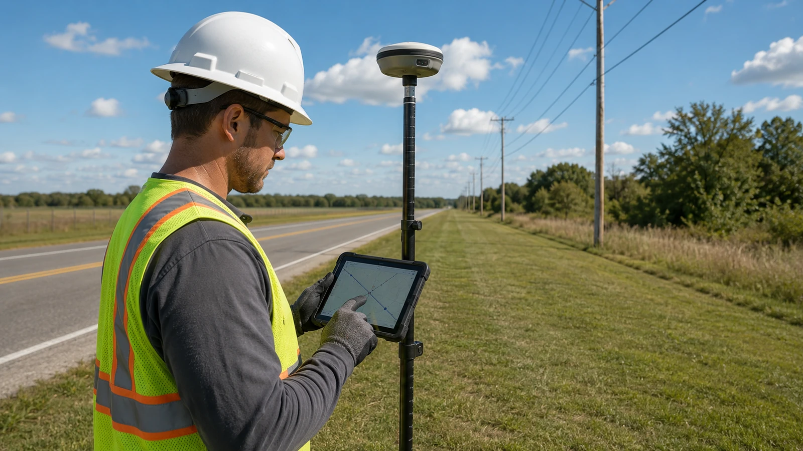
Photos are feature-linked evidence, not a camera roll. The schema specifies overview, detail, orientation and identifier plus any measurement context needed by design. Original files and metadata are retained according to the owner policy. Review checks blur, obstruction, wrong asset and missing face plus broken export links. A photograph is accepted because it answers a defined question, not because a record contains an attachment. Our visual limitation is explicit: a hero illustration is not field evidence, and an apparent splice-enclosure height or technician position must never be used as a measured condition.
Device validation and supervisor QA serve different purposes. Required values, ranges and domains plus conditional logic stop basic omissions. Map checks, relationship checks, route continuity, unit review and duplicate detection plus evidence review catch contextual errors. Our discussion of strand mapping and aerial plant assessment shows why connected records matter, while existing infrastructure survey controls carries the source discipline into route planning. The pole loading calculator can support an early planning check, but it does not replace measured field evidence.
The pilot ends with an issue register and an owner decision. Configuration defects are corrected and retested. Accepted limitations are documented with workarounds and responsible roles. Unsupported requirements trigger a platform or process change. We do not call a pilot successful because data reached a dashboard. It succeeds when an in-house engineer can trace the source, judge fitness, issue a correction, and use the accepted record without reconstruction.
Production monitoring should sample ordinary records and inspect every exception category. We watch correction returns, sync conflicts, duplicate IDs, missing media, location warnings and export failures plus form-version drift. A rising error type triggers a workflow review, not a reminder to work harder. The software, schema, training, assignment map, and review queue are one control system, so the corrective action belongs where the defect actually starts.
Which Telecom Field Platform Should You Choose?
ArcGIS map-centric owner: choose ArcGIS Field Maps when mapped asset context and field editing plus ArcGIS review are central. Require a controlled schema, offline pilot, attachment test and relationship test plus full export. It is our default for that operating model, not for every program. The selected application must also preserve the handoff expected by OSP network documentation software rather than ending at a field-form export. Our delivery model assigns that handoff to an accountable reviewer. Map context matters. Offline proof matters more. IDs must survive export. Photos need asset links. Review starts in the field. For an ArcGIS owner, the strongest pilot follows one ordinary asset and one difficult exception from assignment through correction into the receiving engineering system without manual reconstruction.
ArcGIS form-centric program: choose Survey123 when conditional questionnaires, repeated inspection sections, and structured submissions matter more than editing a connected network map. Freeze form revisions and prove how each submission becomes a GIS or design record.
QGIS engineering team: choose QField when QGIS is the controlled desktop environment and the team owns packaging, synchronization and device support plus version testing. Do not choose it merely because it is open source. Choose it because the project workflow has an accountable administrator. Open source still needs ownership. Sync conflicts need rules. Version changes need tests. Field limits stay visible. Engineering decides fitness.
Portable form-first program: choose ODK Collect when structured questionnaires and media plus flexible deployment lead the requirement. Add deliberate OSP identifiers, relationship rules and map QA plus a receiving database. ODK is not a network model by itself.
Poor selections surface as failed offline work, duplicate assets, false coordinate confidence, unlinked photos, inconsistent IDs and trapped attachments plus exports the engineering team cannot trust. Draftech removes those gaps by designing the field schema and QA/QC around the in-house engineering decision. If you need a platform-neutral pilot plan, contact email our team.
The verdict is simple: Field Maps for an ArcGIS map workflow, Survey123 for an ArcGIS form workflow, QField for an owned QGIS workflow, and ODK Collect for a deliberately modeled form-first workflow. Product name comes after data contract, offline proof and receiving-system test plus accountable administration.