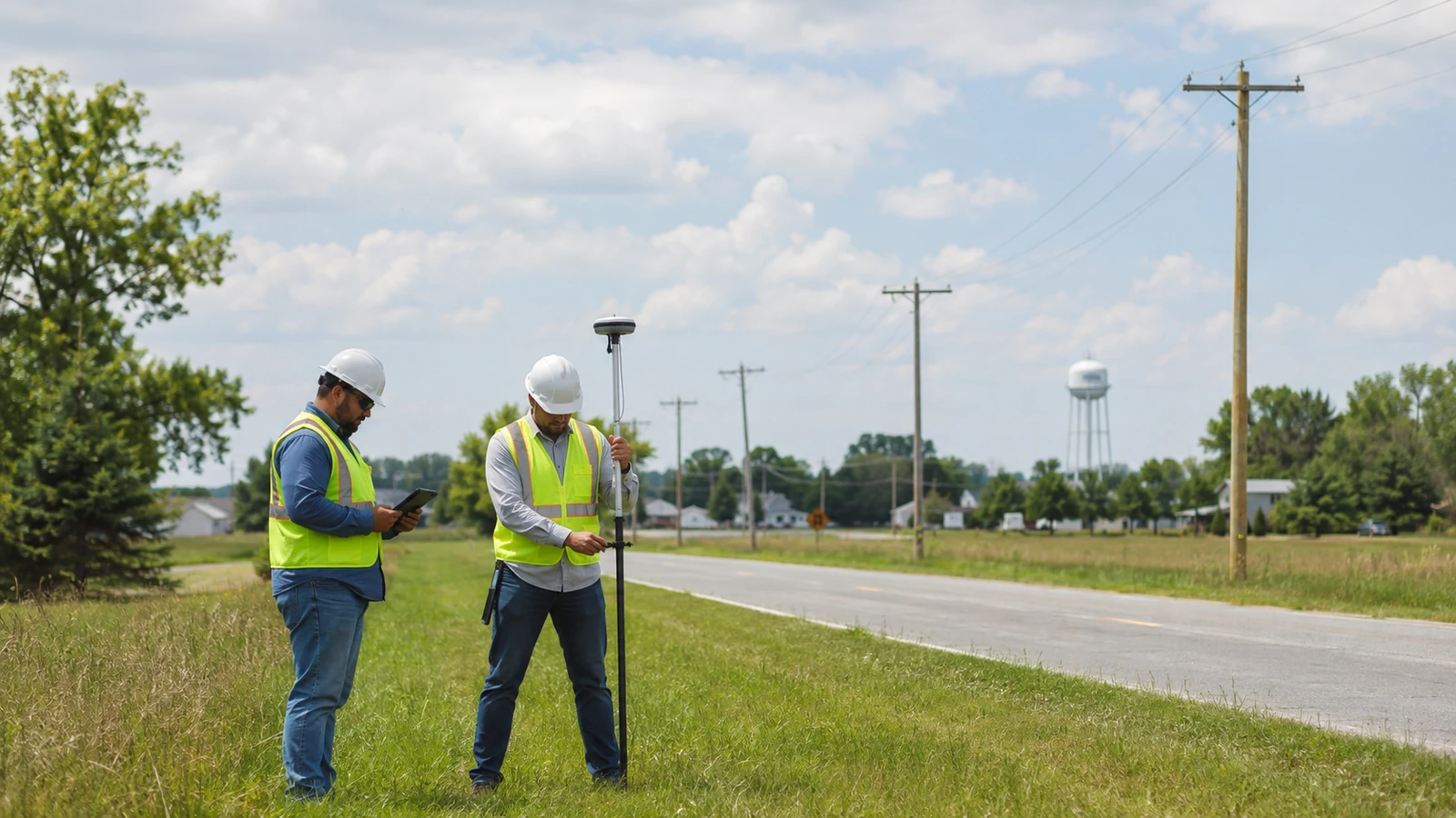
Rural broadband plans rarely fail because a line cannot be drawn between two points. They stall because the address list, road authority, pole owner, terrain, power source and construction method do not agree on what that line means. A route that looks short on a desktop can become the wrong route after field access and ownership are checked.
This guide treats rural telecom engineering as a sequence of decisions rather than a drawing task. We cover service-area definition, field evidence, route and architecture development, utility coordination, permitting inputs and construction handoff. The aim is a package that reflects local operating conditions without assuming every rural community has the same density, owner structure or right-of-way rules.
Telecom Engineering Support for Rural Communities Defined
Telecom engineering support for rural communities converts a service objective into field-verified OSP routes, design packages, permit inputs and construction controls suited to local conditions. Start with 2 separate maps: a demand map that identifies intended service locations and a constructability map that records the assets, access constraints and authorities governing the physical route.
Those maps answer different questions. Demand data tells us who the network intends to reach and how locations relate to the proposed architecture. Constructability data tells us whether the route can occupy a road corridor, attach to a pole line, cross private land, reach power and enter each service area. Merging them too early creates false certainty. We want disagreement to appear while alternatives are still inexpensive to evaluate.
Rural is also a defined geography only within a stated program. The U.S. Census Bureau's 2020 classification treats rural as all population, housing and territory outside an urban area; an urban area must contain at least 2,000 housing units or 5,000 people under those criteria. A grant program, lender or state office may apply a different eligibility definition, so we record the controlling definition instead of borrowing one label.
A Broadband Benchmark Is Not a Design Standard
The FCC's March 2024 Section 706 Report adopted 100 Mbps download and 20 Mbps upload as the fixed broadband benchmark, with a long-term goal of 1,000 Mbps download and 500 Mbps upload. The same report estimated that about 28 percent of people in rural areas lacked access to 100/20 Mbps fixed broadband at that time. Those figures establish policy context, not a fiber count or split plan.
Engineering still needs owner-approved demand, technology, oversubscription assumptions, optical criteria, restoration policy and growth treatment. We do not infer them from the FCC benchmark. A design can advertise a qualifying service tier and still be operationally weak if feeder concentration, cabinet placement, backhaul diversity or maintenance access conflicts with the operator's actual model. The responsible move is to make each assumption visible and assign its owner.
The Six Rural Engineering Workstreams
We organize the work into six connected streams: service locations, architecture, field evidence, route authority, detailed design and construction control. This is not a rigid schedule. Field findings can reopen route selection and an authority comment can change the detail package. The benefit is accountability. Every open issue belongs to a named stream with an input, decision owner and release condition rather than a general project risk list.
The streams converge at defined holds. We do not release a pole application route that still has unresolved ownership or issue construction drawings while a crossing method remains undecided. A hold does not mean every minor comment is closed. It means the remaining issues are documented, bounded and assigned without undermining the decision being released. That distinction keeps urgency from turning provisional information into silent design fact.
| Workstream | Controlling input | Engineering output | Release risk |
|---|---|---|---|
| Service locations | Approved location and eligibility source | Traceable service-area basis | Duplicate or omitted locations |
| Architecture | Capacity and operating assumptions | Feeder, distribution, split and cabinet concept | Policy benchmark treated as design |
| Field evidence | Survey scope and acceptance rules | Verified assets, conditions and exceptions | Desktop route treated as field truth |
| Route authority | Owner, road, land and crossing requirements | Application and permit input register | Wrong authority or missing agreement |
| Detailed design | Accepted route and owner standards | Issued design package | Unresolved interface hidden in notes |
| Construction control | Released package and change process | Submittal, RFI, redline and closeout path | Field change loses design intent |
Service Locations Need Provenance
An address list is not automatically a service-location model. We retain the source, release date, unique identifier, eligibility state, geocoding method and disposition for duplicates or ambiguous structures. Parcels, postal addresses, broadband serviceable locations and utility accounts do not represent the same thing. Engineering needs to know which source governs the obligation and which supplemental source helps place the physical drop. We never collapse that distinction without a documented rule.
Architecture Must Match the Operator
A rural architecture balances long routes with practical operations. We document active-equipment sites, feeder paths, passive distribution, cabinet or terminal strategy, backhaul interfaces, power dependencies, restoration priorities and expansion assumptions. The exact topology belongs to the owner and project criteria. We do not present one split ratio or cable size as a universal rural answer. Distance alone cannot decide a network that must also be maintained in winter and restored after an outage.
Field Evidence Tests the Desktop Route
Fieldwork confirms what source records cannot: visible pole conditions, route continuity, access limits, roadway character, crossing context, existing facilities and conflicts that need another discipline. The survey scope should state what the crew observes and what remains outside its authority. A field technician can record a suspected owner from a tag, but the project still needs the controlling owner record before an application is assembled. Observation and legal control are not interchangeable.
Rural route rule: carry at least one feasible alternative until ownership, access and the controlling road authority are confirmed. A shorter line is not the preferred route when its permission path is unknown.
Coordinate Pole Owners, Roads, Land and Crossings
Rural corridors often involve overlapping authority. A county road can contain state-maintained segments. A pole line can change owner while appearing physically continuous. A private road may serve multiple eligible locations without granting utility occupancy. We create an authority matrix by route segment and attach the source for each conclusion. Permit names come later. First identify who controls the asset or land and what instrument authorizes occupancy.
Federal pole-attachment timelines do not govern every rural pole owner. Under 47 U.S.C. 224, the statutory definition of utility excludes a person that is cooperatively organized, as well as railroads and government-owned persons. States can also regulate pole-attachment matters under the statute's certification framework. We verify the owner and applicable regime before building a schedule around an FCC timeline. Co-op status is not a footnote in a rural plan.
Highway occupancy is similarly specific. The Federal Highway Administration's Utilities Program explains that states decide whether and under what conditions utilities may occupy highway right-of-way, with those decisions documented in an FHWA-approved utility accommodation policy. A state can permit some utilities, exclude others or prohibit longitudinal installations. That makes the controlling state policy and road ownership essential route inputs, not permit-stage paperwork.
Private easements require source documents and legal review by the appropriate party. Engineering can map the proposed corridor, describe the required width or facility type and identify conflicts with the planned route. We do not declare that an easement grants rights beyond its recorded language. One limitation is clear for an engineering partner: legal interpretation and title conclusions remain with qualified counsel and the owner. We design to the confirmed right.
Crossings deserve their own register. Streams, railroads, controlled-access roads, transmission corridors and other special interfaces can change the method, profile, survey need or review path. We identify them during route development and assign a basis document. A generic crossing symbol on the plan is not coordination. The design package should show the information the reviewing authority requires while avoiding unsupported assumptions about subsurface conditions.
For buyers establishing scope, our plain-language guide to OSP engineering separates planning from detailed design. The OSP engineering partner selection guide covers responsibility and review questions, while the OSP engineering pricing drivers guide explains why route complexity matters more than a bare mileage figure. These are connected decisions, but each needs its own evidence.
Build a Design Package That Rural Crews Can Use
Detailed design converts the accepted route into a controlled instruction set. Package content varies by owner and jurisdiction, but the core must keep plan geometry, asset references, material intent, construction notes, details, permit conditions, splice information and unresolved exceptions consistent. We publish the governing criteria and revision. A note that conflicts with a detail is not harmless ambiguity when a crew is far from the designer and connectivity is weak.
Rural constructability review must consider access and sequencing without pretending engineering can predict every field condition. We review staging constraints visible from records and fieldwork, likely traffic exposure, seasonal access limitations supplied by the owner or authority, material interfaces and change triggers. We do not invent production rates or promise a universal build season. The package instead shows where the contractor must verify conditions and when an RFI is required before proceeding.
Issue control: every construction package should state one released revision and one change channel. If a crew can receive conflicting instructions from email, chat and an old drawing set, document control has already failed.
Our rural OSP engineering support keeps route assumptions, field returns, utility comments and design revisions connected within an in-house engineering workflow. Construction, when included, is delivered full turnkey through Draftech-managed subcontract crews under our QA/QC and safety oversight. That model gives the owner one controlled change path without claiming that Draftech self-performs construction. The distinction should remain explicit in procurement language and field communication.
The construction handoff names the issued package, open conditions, submittal path, RFI owner, redline standard and acceptance record. A field change is not closed because someone marked a PDF. It must identify the location, reason, approving authority, design effect and record that supersedes the issued instruction. When that chain is weak, the as-built becomes a collection of recollections. Rural distance makes informal correction even less dependable.
Quality reviews should sample ordinary work and inspect every high-risk interface. We pay particular attention to ownership transitions, crossings, route breaks, equipment sites and records carried forward with limitations. A planning aid such as the pole loading calculator can help frame an early aerial question, but it cannot replace owner criteria, measured inputs or a formal pole loading analysis. Keep planning tools in their lane.
Choose Telecom Engineering Support for Rural Communities by Owner Readiness
Community with a defined service obligation: begin by reconciling the controlling location source with the physical route model. Do not commission full detailed design while eligibility, duplicate locations or major corridor permissions remain unresolved. Release architecture and fieldwork against documented assumptions. The right early deliverable is a decision package, not a stack of premature sheets.
Rural ISP with operations criteria: require engineering to use the operator's architecture rules, naming, restoration approach and receiving systems. The partner should expose exceptions rather than smooth them over. The Draftech delivery model assigns named accountability from field inputs through design review. It is a better fit when the operator wants an integrated engineering handoff, not disconnected drafting capacity.
Cooperative or public owner: verify the legal and regulatory path before applying standard carrier assumptions. Pole access, procurement, road occupancy, member or customer records and approval authority can differ. We recommend an authority matrix and decision log at the start. The owner, counsel, funding administrator and engineer each keep their proper role. Engineering should organize those interfaces, not impersonate them.
Rural projects lose time when service locations drift, desktop routes outrun field facts, owner requirements arrive after design and field changes bypass document control. Draftech's role is to turn those interfaces into a traceable engineering workstream with explicit holds and correction ownership. If you need to scope that work, email info@draftech.com with the service-area basis, known authorities and intended delivery stage.
Choose support according to readiness. A community defining its obligation needs evidence and alternatives. An operating ISP needs conformance to its network rules. A cooperative or public owner needs authority-specific coordination. No delivery model removes rural distance or local control, but disciplined engineering prevents those realities from appearing as surprises after the route is issued.
Talk to our OSP team about your rural service area. Share the controlling location source, route concept, known pole owners and target design stage so the first review tests the real assumptions.