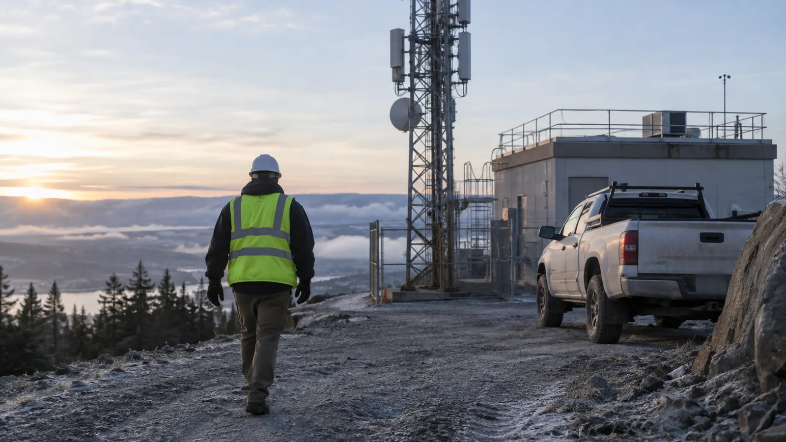
A fiber-nearby hexagon is not a connection. Inside Towers, Fiber-to-the-Tower Opportunities, published December 3, 2025, counted 140,226 registered constructed U.S. towers and found fiber nearby at 60 percent of them. That flag is useful screening. It does not name the serving splice. It does not name the compound enclosure. A designer who treats the hexagon as a handoff will issue a line that dies at the fence because no serving structure was ever named.
This protocol starts after the serving structure is accepted and stops at the tower-compound demarcation. We walk that interval and write the evidence the later corridor sheet will query. Topology selection is a different job. So is construction release.
What a Wireless Tower Fiber Connection Survey Must Record
A wireless tower fiber connection survey is the pre-design field record from the accepted serving structure to the tower-compound demarcation. It must capture 9 evidence classes: endpoint identity and ownership; pathway and structure IDs; coordinate provenance; photographs; access status; compound entry; the handoff enclosure; observed constraints; plus unresolved dependencies.
Wireless Tower Fiber Connection Survey Worksheet
The serving end is an object the owner already accepted. A tower lat/long is not that object. The far end is the enclosure the transport will land in, on the compound side of the fence, not a generator pad or a shelter wall the crew happened to photograph. We do not invent a second start because a GIS layer looked convenient. If the serving structure is still a candidate, this walk has not started. The accepted ID goes on the survey header before the first photograph is taken. If the field object does not match that ID, we stop and return the conflict. Walking a prettier lid does not create a new serving point. The accepted serving ID is the only start we will walk, and a nearby lid that looks cleaner does not replace it even when that lid is closer to the fence.
Draftech's field survey team records the interval. Engineering stays in-house. When construction is later in scope, Draftech-managed subcontract crews deliver full turnkey under our QA/QC and safety program with Draftech remaining the single point of accountability. We do not claim a self-perform construction crew today.
The Fiber Optic Association published FOA Standard for Installing Fiber Optic Cable Plants, 2025 V1. Section 13.1 of that standard requires the path of every fiber to be identified through intermediate connections, including cable identification and splice locations. That is a path-identity rule. It is not a license to pick topology on this walk.
Corridor comparison lives elsewhere. Our wireless tower fiber route design article owns corridor evidence and optical assumptions. Fiber backhaul design for cell towers owns protected versus unprotected path choices. The wireless backhaul design package is written after this record exists.
Identify Both Ends Before Walking the Path
A tower symbol on a planning map is a location. It is not an interface. We start by writing the serving structure ID the owner already accepted. Then we write the owner of that structure and the cable or closure identity we are allowed to treat as the start of the walk. If the structure ID is missing, the walk does not start.
Endpoint identity is two facts: what the object is, and who owns it. A handhole lid stamped with a contractor logo is not ownership. A pole tag is not a lease. We copy the owner from the record the owner supplied, and we mark the field observation as matching or conflicting before any photograph is filed against that ID. A conflict is a hold. It is not a guess we bury in a note.
The compound end is narrower. We need the enclosure the transport will land in, plus the party that controls that enclosure. A shelter wall is not a demarc. A generator pad is not a fiber panel. If the crew cannot see the enclosure from an authorized standing point, the enclosure row stays open and the survey does not pretend the fence is the handoff.
Ownership splits are common at this fence. The tower owner and the fiber owner can be different parties, and the radio tenant can be a third. We write the party that controls each endpoint we actually stood at. We do not claim a carrier affiliation. We do not treat a brand on a cabinet as proof of who will accept the lateral, because a logo is not a lease and it is not an interface assignment.
| Evidence class | Question it answers | Failure if blank | Who owns the fact |
|---|---|---|---|
| Endpoint identity and ownership | What object starts and ends the walk, and who controls it | The path starts at a tower symbol | Owner-supplied record, checked in the field |
| Pathway and structure IDs | Which structures on the walked path can be queried later | Photos cannot be joined to a later sheet | Field ID tied to the owner register |
| Coordinate provenance | Where the pin came from, and on what date | A GIS vertex is treated as a measured point | Named source on the survey row |
| Photographs | What the crew actually saw at that ID | A folder of unlabeled images is offered as proof | Image keyed to the structure ID |
| Access status | What the crew was allowed to occupy that day | The next visit assumes the first visit entered | Owner grant, recorded as granted or held |
| Compound entry | Whether the walk crossed the fence under that grant | The fence is treated as the demarc | Gate observation plus the access grant |
| Handoff enclosure | Where the lateral is supposed to land | Design lands a cable on a cabinet nobody found | Visible enclosure, or an explicit hold |
| Observed aerial or underground constraints | What blocked a continuous walk | A later designer invents a method from a blank | Field observation, not a construction method |
| Unresolved dependencies | What still blocks design, and who must close it | Hope is filed as residual risk | Named owner on the open-item row |
The table is a preview map. Each later section expands one cluster of those rows. A blank cell is a hold. Filling it from a desktop layer is how a nearby hexagon becomes a fake splice.
Tie Photographs and Coordinates to Structure IDs
A photograph folder named TOWER_FIBER is not an identity system. Every structure on the walked path gets a stable ID that GIS and the later design sheet can query without opening a separate photo folder to guess which lid was which. Pathway IDs are the join. Coordinates hang off those IDs. Photos hang off those IDs. A pretty image with no structure ID is a postcard.
Coordinate provenance is the part we still fail in our own packages. One thing I still reject in our own reviews: a GIS pin with no source date. I have signed a survey that carried that pin. The later design treated it as a measured point. That limitation is on us. We now refuse a coordinate that cannot name its source.
Sources we accept are four different objects. A GNSS observation taken on the walk. A GIS vertex with its layer name and export date. An owner as-built with its revision. A recorded plat callout. We write which one produced the pin. We do not publish a universal GPS tolerance. The operator or the contract may name one. If they have not, we still write the method and the date. The later design will inherit these pins. A pin that cannot be replayed from its source date is how a fence-line error survives into drawings we are not writing on this sheet. Provenance is the cheap control. Re-walking the compound after a designer has already committed a corridor is the expensive one.
Photographs have to show the ID in the frame, or in the filename that already carries that ID, so a reviewer can join the image to the row without a second site visit. A closure photo that cannot be joined to a row is not evidence. We photograph the serving structure and each intermediate structure we walked. The compound gate gets its own frame. The enclosure is photographed only if access was granted. If access was not granted, the missing interior shots are an open dependency, not a creative crop of the fence, and the enclosure row stays a hold until the owner grants the interior.
Nearby is not a splice ID. The Inside Towers 60 percent figure is a screening statistic from December 3, 2025. It does not fill a structure ID, and it does not prove the serving cable is the cable on the lid in front of you.
Access, Compound Entry, and the Handoff Enclosure
Access status is a field we write before anyone asks for a second visit. OSHA 29 CFR 1910.268, Telecommunications, current on eCFR as of September 11, 2026, Title 29 last amended September 9, 2026, covers telecommunications field work at outdoor installations. It does not grant compound entry. The site owner grants that. The tower owner may be a different party from the fiber owner. We record both.
We use four access states on the row. They are not interchangeable.
- Granted: the owner issued access for this visit, and the crew stayed inside that grant.
- Pending: a request is in flight, and the interior remains unobserved.
- Public-side only: the walk used the right-of-way and photographed the fence from outside.
- Denied: the owner refused, and the enclosure row is a hold.
Compound entry is its own row because a granted walk of the public road can still stop at a locked gate. We record the gate type we saw and the lock state we observed. Vehicle reach to the enclosure is a separate note, written only under the grant we had that day, because a later crew cannot assume the same gate will open. We do not climb the tower. We do not open an unmarked vault. A cracked handhole lid is not permission. A posted contact number on the fence is useful. It is not access.
The handoff enclosure is the last object on this walk. We write its ID, its apparent type, the visible cable entries, and whether a panel or splice tray was observable without intrusive opening. Observation is not proof of spare ports. Observation is not proof of optical continuity. If we could not see the enclosure, we say so. The route-design sheet cannot land a cable on a cabinet we invented from a street-view still, and it cannot treat a locked fence as if the enclosure had been opened.
Do not enter a compound the owner has not released. A locked gate is evidence. It is not a puzzle the crew is asked to solve.
Observed Constraints and Unresolved Dependencies
Aerial constraints are facts we can see from an authorized standing point: attachment congestion on a pole, a missing riser, a road crossing with no obvious overlashed path, or a pole with no tag. Those are observations. They are not a make-ready solution, and they are not an attachment application.
Underground constraints show up as surface facts, such as a paved driveway with no visible structure or a handhole standing in water. A route can disappear between two lids. A lid can sit buried in gravel. We write what we saw. We do not write a bore method. OSHA 29 CFR 1926.651(b), current on eCFR as of September 11, 2026, requires estimated underground installation locations before excavation opens. This survey is not excavation. A GIS utility layer on our tablet does not become a locate.
We flag investigation zones. We do not represent mapped lines as cleared digging space. That boundary matters because a later construction package will inherit this record, and a mapped line treated as cleared space is how a bore starts on a false premise.
Unresolved dependencies are the honest part of the package. Each open item needs a named owner and a reason it blocks design. A missing enclosure ID blocks the landing. Denied compound access leaves the interior unphotographed. If the serving splice has no owner, the walk never started. Four held rows beat a complete-looking path nobody can occupy. Each hold names a person or organization, not a department nickname. The row needs the party that can actually grant the missing fact, whether that fact is a structure ID or the access window that would let us see the enclosure. If we cannot name that party, the hold is incomplete and the walk is not ready to leave the site.
Hope is not a disposition. The wireless backhaul design work starts when those holds have names. It does not start when the hexagon is green.
Recommendations by Owner Type
Rural WISP or single-site owner with one accepted serving structure: walk this interval before anyone draws a lateral. Freeze the serving ID. Freeze the enclosure ID or hold it. Use the four access states. Do not print fiber-nearby as a splice. If the owner has not granted compound access, return a public-side package and a named hold rather than a cabinet invented from imagery.
Multi-state wireless program releasing sites on a shared template: require this survey as a gate before route design opens a corridor sheet. Structure IDs and coordinate provenance belong on the same row. A program that reuses last year's GIS pins will issue laterals that miss the enclosure by a fence line because the pin never named the source date that would have flagged the move. Segment-based release lets one compound wait on access while another walks.
Transport provider selling a lateral to a compound: your product is the handoff, not the hexagon. Assign the serving structure from your own plant record, then walk to the enclosure the tenant or tower owner will actually accept. If those two parties disagree, the disagreement is the deliverable. Selling a route that ends at the fence is how a lateral gets built twice.
The useful outcome is a field record the route sheet can query without a second visit to guess the start. Every evidence class from endpoints through holds has to sit on the same walk. A mismatch after the designer has already compared corridors is a hold nobody scheduled.
That is the problem this service removes. A fiber-nearby flag treated as a splice is the first failure we still catch. A GIS pin with no provenance is next. An enclosure nobody was allowed to see, filed as if it had been opened, keeps showing up after that. Draftech keeps the walk in-house so those failures stay on the sheet, where they can still be fixed.
Active in 24 states. Available across all 50 U.S. states. If a live site needs the connection survey before route design starts, start with a free 20,000-ft design review. For a walk already in draft, reach out at info@draftech.com.
Talk to our field survey team about the path to the compound demarc. Request a review of serving-structure IDs before the corridor sheet opens.