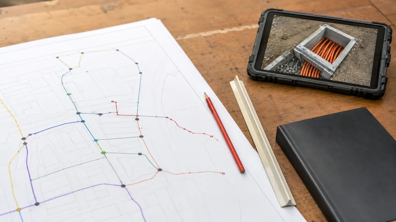
Construction handoff is where correct engineering can become ambiguous field instruction. A route may be designed, yet the crew still needs to know which issue governs, which segment is released, what material applies and which permit condition controls the work, plus how a field change returns to the record. Drawings alone do not answer all of that. Release the record.
We treat handoff as a formal release, not a file transfer. That distinction matters. Our as-built and documentation workflow keeps design intent, route status, permit conditions, material references, GIS identifiers, RFIs and redlines, plus closeout expectations in one controlled chain. This guide explains the evidence we require before a crew receives the package.
OSP Documentation for Construction Handoff: Release Test
OSP documentation for construction handoff is the controlled package that tells a crew what to build, where to build it and which conditions apply, plus how changes return to engineering. Our 6-part release test covers scope, drawings, materials, approvals, data, and change control so field work does not depend on undocumented interpretation.
The first page should define the handoff boundary. We name the route limits, construction type, current drawing issue, included and excluded work, release status, controlling permits or owner approvals, material basis and open conditions, plus receiving roles. A package cannot be construction-ready when the transmittal leaves the crew to infer whether every sheet or only one segment is authorized.
We separate technically complete from released for construction. A design may be complete while a permit, make-ready action, access agreement, material substitution, owner acceptance or traffic-control condition remains unresolved. The release register shows those dependencies by segment and structure. That keeps a valid design from being used before the external conditions supporting field work have closed.
The package also identifies engineering authority. Draftech's survey integration, OSP design, pole loading, make-ready, permitting support and GIS, plus documentation are performed in-house. When construction is included, we deliver it full turnkey through Draftech-managed subcontract crews under our QA/QC and safety oversight. Field means and methods remain distinct from changes to engineering intent, which require documented review.
Safety and permit obligations must reach the field as usable instructions without pretending that a blog replaces the controlling requirements. The OSHA telecommunications standard at 29 CFR 1910.268 is a named federal reference. The employer, owner, contract, approved plan, permits, and current site conditions still determine the specific controls and responsibilities for the work.
OSP Documentation for Construction Handoff Components
A buildable package connects route geometry to field-recognizable structures and stations. Each plan, profile, detail, schedule, and note should use stable identifiers that agree with the GIS or source database. We check sheet match lines, route continuity, structure relationships, construction method transitions, crossings and access limits, plus references. A crew should not need a designer's memory to understand where one instruction ends and another begins.
Materials must follow that same geometry. We reconcile cable, conduit, handholes, closures, terminals, messenger or support hardware, pole work, restoration, and other project-specific assemblies to the released route and detail set. The bill of material is not accepted because its total looks reasonable. We trace representative items to drawings, details, specifications, and segment limits, then name allowances or owner-furnished items explicitly.
| Package control | Crew needs | QA comparison | Hold condition |
|---|---|---|---|
| Scope and release | Authorized route limits | Transmittal to register | Ambiguous boundary |
| Drawings | Current construction issue | Plans to details and GIS | Revision conflict |
| Materials | Applicable items and assemblies | BOM to route and specs | Unreconciled quantity |
| Approvals | Permit and owner conditions | Condition to segment | Missing acceptance |
| Field data | Stable IDs and redline method | Forms to GIS schema | Unmapped identifier |
| Change control | RFI and escalation path | Decision to affected outputs | Verbal-only change |
The table previews our 6-part release framework, which is Draftech guidance rather than an industry statistic. Every row must agree with the others. A current drawing paired with an old bill of material is not a current package. An approved permit paired with a larger construction limit is not a released route. A redline form using identifiers that do not exist in GIS is not a usable change record.
Permit and owner conditions need a direct route relationship. We identify the approving authority, approval instrument, approved drawing issue, covered limits, notifications, inspection or work restrictions, restoration obligations, expiration or extension controls where applicable, and closeout evidence. The FHWA Utilities Program is a named federal reference for utility accommodation and coordination context, while the controlling authority and project documents govern the actual segment.
- Release boundary: Name authorized segments, structures and sheets, plus excluded work.
- Issue control: Identify current drawings, data, schedules and specifications, plus superseded files.
- Condition trace: Link permits, owner comments and inspections, plus restrictions to route objects.
- Change path: Define RFI, redline, engineering review and acceptance, plus record update.
The package should be concise enough for active field use and complete enough for later reconstruction. We do not solve completeness by handing over an unindexed folder. The transmittal points to each controlled component, states its purpose and identifies its revision, plus lists open exceptions. Our guide to fiber as-built services for grant compliance explains how those components are developed before the construction gate.
Naming, GIS, and Revision Discipline
Naming is the spine of the handoff. Protect the keys. Route segments, poles, handholes, bores, conduits, closures, cables, terminals, permit limits, material items, photographs, RFIs, and redlines need identifiers that remain stable across drawings and data. We publish a naming rule and data dictionary with allowed values, relationships, status definitions, units, coordinate reference system and source fields, plus null handling.
GIS should distinguish proposed, approved, released, field-changed, installed, tested, and as-built states rather than overwriting one geometry repeatedly. Status does not need to live in one field, but its meaning must be explicit. We preserve source and confidence for material attributes so an assumed depth, inferred owner, or unverified structure does not look identical to a measured and accepted value.
Drawing and GIS comparisons look for route continuity, side-of-road or corridor consistency, structure identity, method transitions, cable relationships, device placement and permit limits, plus revision status. The deeper standards discussion in CAD and GIS documentation standards for OSP explains why a clean visual export is not enough when attributes or relationships have drifted beneath it.
Revision control begins before issue. We define who may change the design source, who publishes construction documents, who updates the release register and who accepts a field change, plus who updates GIS. The transmittal lists current and superseded files. We remove superseded material from active field access while retaining it according to the owner's record policy, reducing the chance that a familiar filename becomes the wrong instruction.
A document-to-data comparison is part of every major issue. Sheet titles, revision labels, route IDs, release statuses, cable designations, structure dispositions, permit references, and material keys must agree in the actual delivered files. We do not accept a corrected source model when the PDF, mobile map, or construction export still carries the prior state. The receiving output is what the field can act on. Test that output.
Our GIS data conversion workflow addresses file behavior when formats change. Access and usability also need testing. A qualified user who was not in the design meetings should locate an asset, find the current instruction, identify the relevant permit or owner condition and retrieve the supporting detail, plus open the redline path. If access depends on personal folders, broken links, or the preparer's verbal explanation, the information has not been handed off.
Mobile and printed use should be tested against the actual delivery method. We check sheet scale, legibility, match lines, offline availability where required, link behavior and layer visibility, plus the way field forms preserve identifiers. A package that works only on the designer's workstation is not ready. The field copy must retain enough context to identify the asset, current instruction, condition, and escalation path without creating an uncontrolled duplicate.
The receiving team should acknowledge the issue and its limits. We record who received drawings, data, permits, material references, and change forms and which version they received, plus which open conditions were reviewed. Acceptance does not transfer unresolved engineering responsibility to the crew. It confirms that the controlled package and escalation process are understood, accessible, and aligned with the authorized construction boundary.
Field control: Test the actual mobile, printed, and offline outputs before calling the package usable.
RFIs, Redlines, and the As-Built Feedback Loop
RFIs protect design intent when the field encounters ambiguity or conflict. The RFI should identify the location, affected asset, drawing and detail reference, observed condition, requested decision, photographs or measurements and work impact, plus required response role. We keep the question, engineering response and approval, plus affected output references together. A private message can alert the team, but it cannot be the only accepted decision record. Record the decision.
Redlines record what changed during installation. The handoff defines the base issue, markup method, required identifiers, dimensions or offsets, material changes, route changes, device or splice changes, photographs, date and responsible crew, plus submission cadence. We prefer prompt capture because field evidence becomes harder to reconstruct after work is covered or crews move. That is a process judgment, not a claim about a fabricated project result.
Field changes remain proposed until the right review occurs. Keep them proposed. We separate contractor means and methods from changes to route, loading, clearance, cable assignment, structure, permit scope, material or other engineering intent. The decision log names who reviewed the change and which records must update. Quietly editing master GIS from an unreviewed redline turns uncertainty into an apparent fact and weakens the future as-built.
The as-built package should be designed at handoff, not invented at closeout. We define required redlines, photographs, installed material records, route and structure attributes, splice or cable records where applicable, permit closeout evidence, inspection records, testing references and exceptions, plus acceptance roles before mobilization. Our fiber as-built and GIS standards guide explains how the final record reconciles planned and installed states.
We use the construction record as a feedback loop. Accepted RFIs and redlines update the affected drawings, schedules, material records, GIS objects and permit records, plus exception register together. A change is not closed merely because a revised PDF exists. Trace every output. We trace it across every output that could otherwise give operations, construction, or funding reviewers a conflicting account of the installed asset.
Handoff release: If your drawings, permits, materials, GIS, and redline process do not agree, talk to our documentation team before the crew mobilizes.
Construction Handoff Decisions and Closeout
Our limitation is practical: documentation cannot prove a covered condition that nobody recorded. We can reconcile accepted evidence and return gaps to the right owner, but we will not turn an unverified field note into an as-built fact.
The final decision is segment-specific: released, released with a named condition or held. We reject vague states such as ready enough because they encourage field interpretation. A condition needs an owner, affected route objects, required action and due event, plus closure evidence. The transmittal must say whether the crew may proceed and how the condition will be communicated when it closes.
Aerial release: Confirm route and pole identity, accepted pole and make-ready dispositions, attachment and hardware details, clearances, material relationships and permit or owner conditions, plus redline requirements. Hold affected structures when a route-critical field value or owner approval remains unresolved. Do not let an approved neighboring span imply that the exception is released.
Underground release: Confirm alignment, structure and conduit identities, crossings, access, bore or trench details, utility conflict status, permit conditions, restoration requirements and materials, plus field-record expectations. The construction sheet and GIS geometry should use the same route keys. Unknown duct, depth, or utility information remains a visible condition until the controlling review accepts its treatment.
Phased release: Divide the route into explicit work areas and issue a current register rather than lowering the package standard. Each phase needs the same scope, drawing, material, approval and data, plus change controls. Interfaces between phases must identify shared structures, cable continuity, permit dependencies, and material assumptions so parallel crews do not inherit conflicting boundaries.
Closeout-bound release: Include the future evidence obligations in the construction package and field forms. The fiber construction package deliverables guide begins with identifiers and evidence rules set before installation. Waiting until completion to request route changes, material records, photographs, tests, or approvals converts as-built preparation into reconstruction.
Before acceptance, we ask a reviewer outside the production chain to trace representative work from released drawing and permit condition through material, RFI or redline and installed GIS state, plus supporting evidence. We also compare the as-built issue against the final release register. Broken relationships return to correction. Fix the chain. An as-built drawing cannot cure an unexplained gap in the decision trail. Keep the gap visible.
This is the problem our documentation team removes: drawings, approvals, material records, GIS, and field changes that otherwise reach construction and closeout as separate versions of the truth. If you need an in-house handoff review, controlled as-built workflow, or full turnkey delivery through Draftech-managed subcontract crews under our QA/QC and safety oversight, email our team.