- GIS for electric utilities starts with a connected record
- Build the model around relationships that reviewers can test
- Check connectivity before releasing a distribution edit
- Control posting and joint-use changes through the same asset record
- Make data quality measurable at the receiving boundary
- Recommended acceptance priorities for GIS for electric utilities
A distribution map can look complete while its records disagree about what connects to what. A conductor ends beside a switch symbol, but the model does not connect them. A replaced pole keeps its attachments in a separate spreadsheet. The next engineer has to reconstruct the relationship before using the record.
We recommend treating the GIS as a maintained distribution network record, with explicit rules for accepting changes. This guide covers the model and the review work that keeps it usable for utilities and electric cooperatives. Our focus is the handoff between GIS and engineering, where a drawing change must become a defensible database change.
GIS for electric utilities starts with a connected record
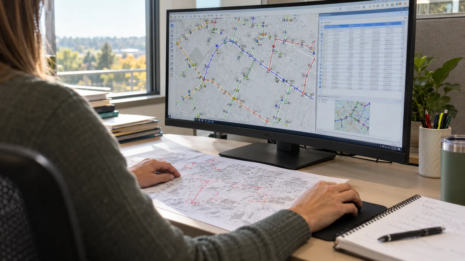
GIS for electric utilities is the connected geographic record of a distribution system, linking asset locations to equipment attributes and electrical relationships. We separate 2 questions during review: where an asset is and how it connects. Both answers must remain traceable as construction changes the system and records move into service.
The broader meaning of GIS mapping is a system that ties geographic features to information about them, while this utility application adds distribution relationships that a location alone cannot describe.
Define the distribution boundary before editing
Before accepting a circuit label, we establish the agreed source boundary, identify the network associated with it and define what the utility means by feeder membership, because a stored feeder name and a trace-derived result can disagree after a connection changes across that boundary.
Geographic position and electrical connectivity serve different purposes. A pole locates a support structure; a conductor represents part of the electrical path. The model must preserve that distinction when several circuits occupy the same structure, or a line crosses another line on the map without an electrical connection between them; proximity alone provides little evidence of an electrical relationship.
Equipment identity should survive ordinary map corrections. We recommend a persistent asset identifier separate from the label readers see on a drawing, with an explicit rule for when physical replacement creates a new record. Moving a misplaced symbol should not create a second asset, and retiring equipment should preserve its history without leaving it in the active network.
Keep lifecycle state separate from connection state
Proposed equipment needs a different status from installed equipment awaiting acceptance, so reviewers can distinguish design approval from acceptance of the installation. A design may be approved for construction while its new conductor still belongs outside the released distribution model, and the utility needs a documented transition that prevents the design from appearing as an existing electrical path before installation is confirmed.
For switch state, we distinguish the normal state recorded for model use from a current operational state maintained through the utility's own operating procedures. A normal-open designation gives a trace a defined stopping condition; it does not establish what a device is doing at this instant or authorize anyone to operate it.
Our recommended ownership rule is simple: every field that drives a downstream decision has a named business owner. The GIS editor maintains the value under that owner's rules. Engineering resolves uncertain equipment relationships. Where another utility system owns an attribute, the GIS retains the agreed reference instead of creating an independently editable competing value.
Build the model around relationships that reviewers can test
The model should make an incomplete record visible before it becomes a quiet assumption. We start with the relationships the utility expects to use, then identify which attributes make those relationships testable. This keeps data collection tied to an operational purpose instead of expanding a schema with fields nobody maintains.
Feeders, conductors and devices
Conductor records need enough information to distinguish the circuit segments they represent. Phase designation belongs with the electrical record, and voltage values need an agreed meaning and unit convention. We preserve the source of uncertain attributes rather than copying values from nearby lines simply because the map symbols look alike.
A device must connect through the correct modeled terminal or connection point. The distinction matters at a transformer, where the primary and secondary sides have different roles, and at a switching device whose internal connections determine whether the model permits a path through it. Because a symbol alone cannot settle those relationships, we document the connection rule explicitly for editors and reviewers.
Our review map connects each record family with its acceptance question. It is a starting structure for a utility's data specification, not a claim that every owner uses identical fields. The sections below explain how each check changes the editing and release workflow. Agree on those acceptance questions before conversion begins, so a record cannot pass merely because it fits the destination file format.
| Record family | Relationship to preserve | Acceptance question | Failure to investigate |
|---|---|---|---|
| Feeder and conductor | Source boundary and circuit path | Does the trace match the accepted connection record? | Unexplained feeder membership |
| Device and terminal | Permitted electrical connections | Does each side connect in its intended role? | Path through the wrong terminal |
| Pole and attachment | Support structure and occupant record | Can each attachment resolve to its current pole? | Attachment on a retired structure |
| Transformer and service | Secondary supply relationship | Is the service association supported by evidence? | Assignment based only on proximity |
| Work order and revision | Accepted change and source package | Can a reviewer reconstruct the posted change? | Unexplained overwrite of existing data |
Poles and services need their own identities
A pole replacement changes more than a point on the map. We retain a relationship between the old and new structure records, then reconcile the equipment supported by the replacement against the accepted change documentation. The retired pole stays searchable for historical reference while active attachments resolve to the correct structure.
Service relationships deserve deliberate review because the nearest transformer may not be the supplying transformer. We require supporting records for a service assignment and retain an unresolved state where evidence conflicts. Connecting every service to something makes a completeness report look better, but it hides the very uncertainty that engineering needs to resolve before relying on the association.
Customer information should remain in its designated system, with GIS access restricted to the authorized identifiers needed for the relationship. A manager reviewing a network export should understand whether the receiving team needs a service-point key or customer details, and the transfer should contain only the information approved for that purpose.
Check connectivity before releasing a distribution edit
Connectivity rules turn a model specification into something an editor can test. We define permitted connections between asset types and check them against the intended distribution configuration. A line endpoint that touches a symbol visually still needs a valid modeled connection; an apparent crossing may correctly remain disconnected.
Trace the intended path and the intended stopping point
A useful review trace has a known starting feature and a documented expectation. We compare the returned path with the accepted source record, including the points where the path should stop under the selected state assumptions. Without that expectation, a successful software command tells the reviewer that the command ran, but leaves the returned path without a basis for interpretation.
Consider a hypothetical normally open tie between adjacent feeders. The review should establish whether the trace stops at the tie when the normal-state rule applies, and whether both sides retain the intended source relationship. This is a model acceptance example, not a switching instruction or evidence of present operating conditions.
Geometry cleanup must respect connectivity. We check short gaps and duplicate segments, but do not automatically snap every nearby endpoint together. A tolerance broad enough to close an accidental gap can also join separate circuits, especially where a drawing represents several facilities within a compact area and their spatial separation is smaller than their electrical separation.
Review attributes at the connection
Attribute validation should accompany the trace. Phase information must be consistent with the modeled connection, and voltage changes must occur through equipment represented for that purpose. We route disagreements to engineering with the affected asset identifiers and supporting records, so an editor receives a resolution that can be applied without inventing an electrical explanation.
A limitation of rule-based validation is that a consistently entered error can pass every configured check, which is why we pair it with source review. A conductor can carry an allowed phase value and connect through an allowed terminal while both entries disagree with the accepted field record, so automated validation cannot replace the comparison that establishes whether those entries are true.
Keep validation outcomes attached to the change under review. Our preference is an exception record that identifies the affected feature and explains the disposition, rather than a general note that says the area was checked. Repeated defects then point back to the rule or source process that needs attention instead of disappearing into individual edits.
When disconnected records and inconsistent attributes recur across deliverables, our GIS mapping and CAD services provide the wider framework for organizing spatial records and engineering documentation around agreed acceptance requirements.
Control posting and joint-use changes through the same asset record
Posting starts with an identifiable change package. We recommend keeping the proposed edit separate from the released record until the utility's designated reviewer accepts it, with the source revision attached and the affected assets identified. This gives the reviewer a specific change to evaluate instead of an entire map to rediscover.
Post work orders and as-builts as controlled changes
We post accepted electric utility as-built drawings by reconciling the documented installation with existing asset identities, applying supported attribute changes, and validating the affected connections before release. The RUS work order design package supplies related work-order context where that process applies; it does not by itself prove that the designed facilities were installed as drawn. Retire removed facilities explicitly and preserve the link from each posted change to its accepted source revision. Where the return is incomplete, we keep the exception open for the reviewer to resolve before accepting the affected change.
Competing edits require an explicit resolution. If a replacement package and a service correction both touch the same transformer record, the reviewer needs to distinguish changes that can coexist from changes that contradict each other. Our review compares the affected fields and relationships before combining them, so the most recently saved file does not automatically override a supported correction.
Field data capture supplies observations to this process, and our acceptance recommendation is to retain the observation method and its quality information so that the GIS reviewer can judge what each observation supports.
Keep unresolved values visible. When the source package leaves a device attribute uncertain, preserve the exception and assign its resolution to the responsible reviewer. Copying a neighboring value can erase the reason anyone would investigate it.
Separate joint-use occupancy from electrical connectivity
A joint-use attachment record describes occupancy on a support structure. It should identify the responsible attaching organization through the utility's controlled reference and distinguish authorized occupancy from an observed condition still under review. We keep attachment status separate from the electrical network so that an administrative update cannot accidentally alter the circuit model.
Attachment history becomes especially useful during pole replacement. Retain the relationship to the old pole while recording the intended transfer and the accepted final location, using the utility's status definitions to distinguish planned work from completed work. Because a closed construction package and an unconfirmed attachment transfer can represent different outstanding obligations, we track their resolution separately.
Telecom network GIS follows communications assets and their network relationships; shared pole identifiers help coordinate that record with the electric distribution GIS without treating communications attachments as electrical connections.
Agreement records may be held outside GIS. We recommend a stable reference to the controlling record and a named owner for discrepancies between agreement status and observed occupancy. The map can make a discrepancy visible, but a GIS edit should not silently convert an observed attachment into an authorization or settle a commercial disagreement.
Make data quality measurable at the receiving boundary
The receiving team needs a version reference and a record of what was checked, neither of which can be established from the appearance of an export. We recommend documenting the release scope with its validation results, then checking that the exported records preserve the relationships the receiving workflow expects rather than assuming a successful file transfer proves the data arrived intact.
Count defects against a defined population
To give quality measures meaningful denominators, we report missing required attributes against the applicable asset population and unresolved connectivity exceptions against the area reviewed. A count of blank fields across the entire database can obscure whether the blanks belong to optional notes or to values required for a distribution relationship.
Our acceptance criteria separate completeness from correctness. A populated device field establishes completeness; comparison with the accepted source establishes whether the value is supported. If sampling is used for that comparison, record the selection method and the portion inspected so the recipient does not mistake a sample review for a review of every asset.
Track exception age without promising a universal resolution period. An unresolved service association may depend on evidence outside the GIS team's control, while a duplicate identifier may be correctable from existing records. Assign responsibility by defect type and report blocked items explicitly. Otherwise, a single backlog total conceals which decisions management needs to make.
Test what leaves the GIS
Exports can change meaning even when feature counts match. We check identifier preservation and verify that relationship keys still resolve after conversion, including retired-state filtering where the recipient expects only active assets. Before accepting the release, the receiving team should confirm that it can interpret units and null values, even when the feature counts agree.
Access permissions also shape data quality. Give editors authority appropriate to their work and preserve an audit trail for changes to the released model. We recommend a separate review step for edits that alter network relationships, because the person who resolves a source discrepancy should be identifiable when another team asks why the model changed.
When a defect is returned, we reference the released version and keep the original handoff intact. Correct the source record through the controlled process and issue an identifiable replacement, rather than quietly changing an export that another department may already be using in its own recordkeeping workflow.
Recommended acceptance priorities for GIS for electric utilities
Utility GIS managers: make connection exceptions visible before expanding attribute collection. Establish a repeatable release boundary and require evidence for corrections that change network relationships. This puts your team's review effort on the records that determine whether another department can follow the distribution system consistently.
Co-op engineering managers: begin with the work-order return requirements that drive your unresolved records. Specify how installed changes will identify existing assets and who resolves contradictory source information. We recommend returning an unsupported association for correction, so package closure reflects an accepted relationship that engineering can use.
Joint-use managers: prioritize pole identity and attachment transfer status. Reconcile observed occupancy with the controlling agreement record, and retain unresolved authorization questions for the responsible owner. This keeps a pole replacement from leaving active attachments assigned to a structure that the utility has already retired.
Draftech International delivers turnkey telecom and power infrastructure, from field survey and planning through construction drawings, permits and agency coordination to construction, as-builts and closeout. Our GIS and engineering work is 100% in-house. Full turnkey distribution construction is delivered by Draftech-managed subcontract crews under Draftech's QA/QC and safety program; our partner profiles identify the people accountable for company delivery.
If disconnected conductor records or unresolved pole replacements are holding up acceptance, our utility GIS mapping service is the relevant next step. Bring the model requirements and a representative change package to our team, or write to info@draftech.com, so we can discuss the record corrections and engineering review your handoff requires.
For a qualifying route, Draftech engineers the first 20,000 linear feet at no cost, from feasibility and field survey through permit approval. The free design offer starts with a request that the owner reviews before Draftech commits the package, giving your team a defined engineering scope to consider alongside the distribution records it needs to maintain.