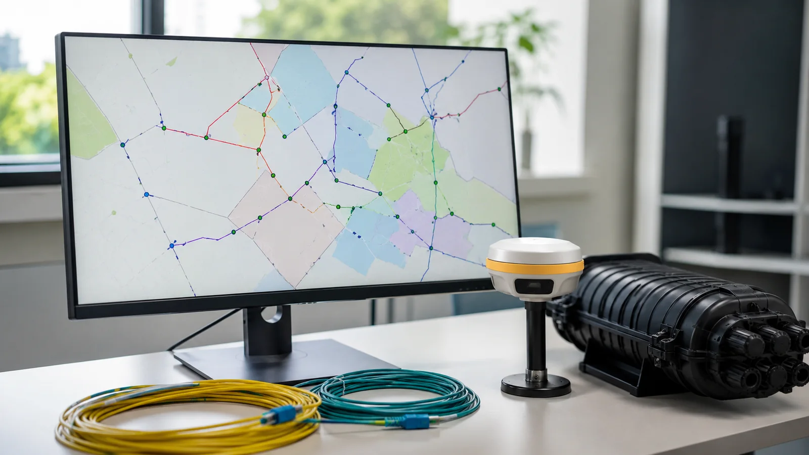
A broadband map can look finished while its network logic is still broken. A line passes through a handhole but never connects; a cable identifier exists twice; and a field revision changes geometry without changing the splice record. The visual map survives. Operations inherit a record they cannot trace, reconcile; or trust during an outage.
This guide treats GIS as a governed network record rather than a presentation layer. We focus on object identity; relationships; topology; field evidence; quality review; publication; and operational feedback. Software comparisons belong in our OSP network documentation software review. Here the question is how the data should behave before any platform publishes it.
What Broadband Network GIS Mapping Must Control
The term broadband network GIS mapping means a controlled spatial record of network assets; locations; relationships; status; and evidence; a dependable model separates at least 4 states: proposed; approved; installed; and retired. It also preserves stable IDs so geometry edits never erase asset history or create false connectivity.
A map answers where. An operational network record must also answer what the feature is; how it connects; which source supports it; who changed it; and whether the change is released. We give each governed object a stable identity that survives file names and display labels; route segments, structures; cables; devices; splice points; ports; service areas; and source documents become related records rather than annotations placed near one another.
The National Telecommunications and Information Administration document Broadband Asset Mapping and Management defines asset mapping as collecting; organizing; and tracking data on infrastructure that can be used for broadband deployment. It also identifies location, ownership; condition; access constraints; and data provenance as useful fields. That guidance is aimed at states and localities. We use it as a source class, not as a universal operator schema.
Scope boundaries matter because several legitimate maps describe different truths. Coverage polygons describe reported service. A design layer describes intended work. A construction record describes observed installation. An inventory layer describes governed assets available to operations. We never merge those purposes into one status field; the FCC Broadband Data Collection Help Center defines the Broadband Serviceable Location Fabric as locations where fixed broadband service is or could be installed. We do not treat that location dataset as cable plant inventory.
Every asset needs a declared source and observation date. A surveyed structure may have field coordinates and photographs. A legacy cable may come from a drawing whose coordinate reference is uncertain. A proposed splitter may exist only in an approved design. We store those provenance differences instead of presenting every feature with equal certainty.
This article remains informational. The GIS mapping services page owns procurement intent and buyer queries; here we stay with the operating method: a data model that can reject invalid relationships; preserve evidence; expose unresolved changes; and release only reviewed records. That boundary keeps a technical guide from becoming a vendor pitch.
Record integrity test: select 1 mapped cable and ask for its source event, connected endpoints; governing status; and current release. If any answer depends on visual proximity alone, the map is not yet an operational network record.
Design the Asset and Relationship Model Before Editing
The object catalog should begin with operational questions. Which structure contains the splice enclosure? Which cable terminates on which port? Which route segment is affected by a field change? Which assets are planned but not installed? We then define object classes and relationships that can answer those questions; starting from familiar layer names often reproduces a drawing index instead of a network model.
We separate physical containment from logical connectivity. A handhole can contain an enclosure without being an optical endpoint. A cable can pass through a structure without splicing there. A duct can carry several cables while remaining a distinct civil asset. These relationships need explicit keys or supported associations; coincident symbols are not enough because a small geometry move can preserve the picture while silently changing the inferred network.
| Control object | Minimum governed content | Primary relationship | Release question |
|---|---|---|---|
| Structure | Stable ID; type; position source; status | Contains devices or supports cable | Is the observed structure accepted? |
| Route segment | From and to nodes; method; status | Carries duct or cable | Does geometry match its source event? |
| Cable | Cable ID; fiber count; endpoints; status | Connects devices through segments | Are both ends and path resolved? |
| Device | Device ID; class; model field; lifecycle state | Contained by structure and linked to ports | Is the installed identity verified? |
| Splice or port | Parent device; position; connection state | Connects fibers or equipment | Does the logical path reconcile? |
| Evidence event | Source type; date; author; revision | Supports an asset change | Can a reviewer reproduce the decision? |
The table is a control framework, not a required national schema. Each owner should refine classes around its plant and applications. The stable idea is separation: the asset record identifies the thing; geometry locates it; relationships explain its role; evidence supports the current value; and release status governs who may rely on it.
Domains and subtypes help editors choose valid values, but they do not replace relationship design; a drop cable should not become feeder cable because a user typed a new label. A retired device should remain traceable to its replacement. We define lifecycle transitions and required references before migration begins; that gives legacy cleanup a destination rather than turning data conversion into a one-time format change.
The Esri ArcGIS Pro page Attribute rule fundamentals explains that user-defined rules can populate attributes; block invalid edits; and run quality checks on existing features. It also describes domains and subtypes as complementary controls. We use that capability when ArcGIS is the governed system. In another platform, we require equivalent validation behavior and document any checks that remain manual.
Govern Field to GIS Change as a Transaction
Field-to-GIS governance starts before collection; we publish the current object catalog; required fields; code lists; coordinate reference; evidence types; and change reasons to the collection workflow. A field form should not ask a technician to interpret database internals; it should present the allowed asset types and capture the observation needed for a reviewer to accept or reject the change.
Each submission becomes a transaction with an event ID; the event carries the collector identity, timestamp, position source; original value; proposed value; evidence reference; and affected asset IDs. A reviewer can accept part of the transaction while returning another part for clarification. We never overwrite the released record merely because a mobile synchronization completed. Synchronization moves data. Review changes authority.
- New asset: reserve or validate the stable ID; attach source evidence; then create required relationships.
- Geometry correction: retain the prior geometry reference; state why it changed; then evaluate connected features.
- Attribute correction: compare the proposed value with its domain and source before replacing the released value.
- Retirement: close the lifecycle state without deleting history or breaking the replacement relationship.
- Unresolved observation: keep it in an exception queue until identity and authority are clear.
Version conflict rules prevent the last synchronization from winning by accident; if office editing changes a route after the field package was issued, the incoming event should identify the older base revision. We compare both changes and assign a disposition. The field observation may be correct while its proposed relationship is stale. Accepting geometry does not require accepting every attached attribute.
Photographs and sketches need governed references rather than unexplained file folders; we link each evidence item to the event it supports and record capture time when available. Sensitive infrastructure information should follow the owner's access policy. Public sharing should expose only the fields approved for that audience; a useful operating map can have a restricted plant view and a separate publication view without duplicating the editing authority.
Construction records have their own lineage. Our fiber as-built GIS documentation guide covers deliverable organization and closeout evidence. Inside the operational database, we stage those records as change events. We reconcile asset IDs and topology before release rather than assuming that a delivered geodatabase is ready to replace the current production view.
Exception ownership should be singular. One reviewer is responsible for the current disposition even when several disciplines contribute evidence. The queue should show missing identity, invalid code; unresolved duplicate; topology conflict; stale base revision; or unsupported status. An internal follow-up date is a management control. It is not proof that field evidence exists or that an authority has accepted a record.
Validate Topology, Attributes and Positional Evidence
QA should test the network questions that operations will ask. Can the trace cross this splice? Does a cable terminate at both ends? Is a device contained by the mapped structure? Does a route segment have an impossible lifecycle relationship? We combine automated checks with map review because valid codes can still describe the wrong real-world asset, while good-looking geometry can carry invalid logic.
The Esri ArcGIS Pro page Network topology says the topology maintains feature connectivity and supports traces plus diagrams. It also describes dirty areas created by edits and errors found during validation. We use dirty areas as work indicators, not as proof that every accepted feature matches the field. Validation proves conformity with configured rules. Evidence review proves why the configured record should be believed.
- Identity QA: find duplicate governed IDs and orphan alternate keys before publishing.
- Attribute QA: test required values, domains; lifecycle transitions; and cross-field logic.
- Geometry QA: review unexpected gaps, overlaps; offsets; multipart features; and coordinate reference metadata.
- Topology QA: validate permitted connectivity and inspect every remaining error disposition.
- Evidence QA: confirm each accepted change points to a retrievable source event.
Positional quality must be reported with its method and source. The Federal Geographic Data Committee standard FGDC-STD-007.3-1998 describes NSSDA testing with independent higher-accuracy check points and reports accuracy at the 95% confidence level. The same standard states that it does not define threshold accuracy values. We therefore do not invent one acceptance tolerance for every broadband record.
The required positional evidence should come from the owner specification and intended use. A planning corridor built from public basemap information has a different authority from a surveyed handhole. Both can exist in one database if source class and status are explicit. We do not label planning geometry as surveyed, and we do not convert a display scale into a measurement claim.
Self-critical note: our event-led method creates more review records than a direct map edit. That is a real trade-off. We reduce the burden by capturing evidence once and reusing the same event across geometry, attributes; relationships; and release history rather than maintaining parallel logs.
Manual review should sample consequences, not merely symbol placement. We open connected asset records and inspect a full trace through selected devices. We compare released geometry against its evidence class. We also review rejected changes because repeated rejection reasons often reveal a poor form or unclear code list. QA findings should improve the collection design instead of remaining a permanent cleanup queue.
Release GIS for Operations, Not Just Map Delivery
A release should be a named dataset state, not the moment an editor closes the application. We record the release identifier, included transactions, schema version; topology status; open exceptions; approver; publication time; and rollback reference. Consumers then know which view supports planning and which one supports operational decisions. A map export can be useful, but it cannot carry all of that authority by itself.
Operational use tests the model quickly. An outage analyst needs a traceable path and accessible structure history. A planner needs available duct without confusing retired plant for capacity. A field lead needs current released geometry plus open change notices. A reporting analyst needs coverage or service locations kept separate from physical cable. We publish role-specific views from the same governed core instead of asking every user to interpret raw editing tables.
The Fiber Optic Association Reference Guide section on fiber network design says outside plant work depends heavily on maps and route data. It also says the cable plant should be documented for location, fiber paths; interconnections; and test results. We connect those records through identifiers. Test files stay authoritative in their controlled repository while GIS stores the relationship needed to find the correct result.
A feedback loop keeps operations from creating a shadow database. If an outage reveals an undocumented splice or mislabeled enclosure, the correction enters the same field-to-GIS transaction path. We do not let emergency notes become permanent truth without later review. The incident can justify priority, yet the final record still needs identity and evidence before publication.
Change notices should name affected assets and views. Consumers do not need every editing detail, but they need to know when a cable path changed or a device was retired. We preserve prior releases for audit and recovery. Retention duration belongs to owner policy. This guide sets no universal period because operational needs and governing terms differ.
We also separate system health from record quality. A successful database backup does not prove topology is valid. A completed sync does not prove evidence was reviewed. A clean validation run does not prove field identity. Dashboards should show these controls separately so one green indicator cannot conceal another unresolved gate. That distinction makes release status meaningful to people who never open the editing application.
The fiber network inventory software framework helps teams compare platform behavior. Regardless of tool, we require export rights; relationship preservation; event history; access control; and tested recovery. Platform features change. Stable IDs and documented release authority should survive a migration without forcing operations to rebuild network meaning from labels.
Choose the Broadband GIS Release Model We Recommend
The right release model follows editing risk and operational dependency. We recommend the lightest governance that still preserves identity, evidence; validation; and rollback. A small network can use controlled files with a release register. Concurrent editing needs transaction staging and conflict handling. Operations that depend on tracing need tested relationship rules before the GIS becomes an authoritative network source.
Small operator with one editor: choose a governed geodatabase, stable asset IDs; a documented object catalog; an exception log; and named release snapshots. Keep proposed edits separate from the last accepted copy. We recommend a second reviewer for schema changes and network-wide imports even when routine edits stay with one custodian.
Growing operator with field synchronization: choose staged transactions that preserve base revision, evidence links; reviewer disposition; and conflict history. Automate domain and topology checks before the review queue. We recommend publishing role-specific views only after accepted events are validated against the current schema, not immediately after mobile data arrives.
Operations team that depends on network traces: choose explicit connectivity and containment relationships with release testing across representative paths. Keep unresolved topology errors visible and assign each one an owner. We recommend rollback rehearsal before a major schema migration because a valid backup is useful only when relationships restore correctly.
Governance should also fit organizational accountability. Our engineering leadership structure shows who owns Draftech's technical direction, while the state availability index provides geographic context. Neither page changes the data rule: the network owner defines acceptance authority and release scope. Questions about this informational framework can be sent to info@draftech.com.
A dependable broadband GIS is not the map with the most layers. It is the released record whose objects can be identified; whose relationships can be tested; whose changes can be traced; and whose limitations remain visible. We choose controls that let operations rely on the record without pretending every source has equal positional authority.
Ask Draftech a broadband GIS governance question. Include the object catalog, source classes; exception register; topology report; and release procedure so the discussion begins with the controls that already exist.